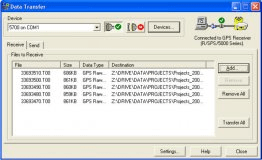
CHC Geomatics Office is a desktop application designed for post-processing GNSS Data. It is a powerful GNSS post-processing solution for the survey and construction. It also supports various RAW data formats from major brands to allow a seamless integration with an existing pool of equipments.
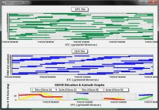
GNSS Satellite Availability Viewer supports mission planning functionality.


Comments